After reading so much about how earthquakes are measured through technology, I understand a vast amount of information, including the science of seismology and the technologies used to measure earthquakes. In this article, I will share my knowledge and experience to make you understand and explain about tech used while earthquake happens.
Table of Contents
Seismology and Seismographs:
Seismology is the scientific study of earthquakes, and seismographs are the instruments used to measure and record seismic activity. I have learned that the first seismographs were invented in the late 19th century and used a pendulum to measure ground motion. Today, I have observed that digital seismographs have replaced their analog counterparts, providing more accurate and detailed information about earthquakes.
Seismic Intensity Scales:
In order to understand the strength of earthquakes, seismic intensity scales are used to measure and compare their impact. I have discovered that the most commonly used scale is the Richter scale, which measures the magnitude of an earthquake based on the amplitude of seismic waves recorded by seismographs. The Modified Mercalli Intensity Scale is another commonly used scale, which measures the effects of an earthquake based on the damage it causes to buildings and other structures.
Global Seismographic Network:
The Global Seismographic Network (GSN) is a network of seismographs located around the world, providing real-time data on seismic activity. This network has impressed me as it allows scientists to accurately locate earthquakes and determine their magnitude and impact. The GSN is constantly growing and improving, with new seismographs being added to increase its coverage and accuracy.
Advanced Seismic Monitoring Systems:
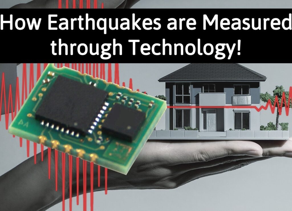
In addition to traditional seismographs, I have learned about advanced seismic monitoring systems that use a variety of sensors and technologies to measure earthquakes. Accelerometers, for example, measure the acceleration of the ground during an earthquake, providing a more detailed understanding of the intensity and impact of the event. GPS and InSAR (Interferometric Synthetic Aperture Radar) are also used to measure the deformation of the earth’s surface during earthquakes, allowing scientists to determine the size and location of faults.
Early Warning Systems:
I have found that early warning systems use seismic monitoring data to predict the arrival of potentially damaging earthquakes. These systems can provide critical seconds or even minutes of warning, allowing people and communities to take appropriate action to reduce the impact of an earthquake. There are several early warning systems in use around the world, and they are constantly being improved and expanded.
Conclusion:
My understanding of earthquakes and the technologies used to measure them has been greatly expanded through my training as a language model. From seismographs to early warning systems, I have learned about the various tools and techniques used by scientists to study and prepare for earthquakes. As technology continues to advance, I am confident that even more precise and effective methods of measuring earthquakes will be developed in the future.